CONVENTIONAL TOPOGRAPHY
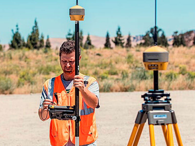
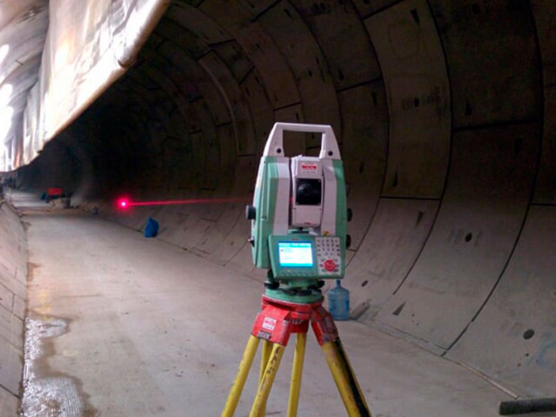
Through a partnership with Santini Topografia, DR1 is able to meet the needs and demands of the market, striving for the evolution of its activities in public and private works, especially in the application of classical topography in combination of increasingly agile and precise modern equipment. collaborating with engineering companies in the execution of projects, civil works, urban works, roads and earthmoving services, always striving to maintain the quality standard.
PHOTOS
Process Steps
Scope elaboration of planialtimetric survey according to client's objective / need
1
It is important to identify the customer's ultimate goal in order to be able to set the optimal parameters for image quality and accuracy.
Flight planning and control point distribution definition
2
In this phase all information related to the project objective is used to define the ideal RPAS / drone, height and speed of flight, percentage of image overlap, camera quality, quantity and location of control points, among other parameters.
Flight execution and tracking of control points
3
In the field every planning done is put into practice. The RPAS / drone will follow the planned route through a pilot assisted standalone flight. Prior to the start of the RPAS flight, the topography team performs all materialization of the control points and after the tracking of the points.
Conventional Topography Aid
4
Depending on the type of terrain or the ultimate goal of the project it is important to have assistance from a conventional topography team to be able to deliver all the information requested by customers and increase the accuracy of their final product.
Conventional topography assists in defining topographic landmarks, tracking control points, identifying tree specimens, identifying closed areas.
Image processing for cartographic product generation
5
After overflight, data (images) generated by the RPAS / drone camera are sent to the DR1 base processing team. Using GIS image processing software, the files are “merged” to generate the products defined within the scope of the service. In this phase the use of the coordinates of the control points is very important for the measurement, thus generating a more accurate model.
Final Delivery
6
Products are delivered to customers according to the coordinate model and combined file extension (DWG, TIF, PDF, etc.). Examples of products include Orthomosaic, Digital Surface Model, Digital Surface Model, Level Curves, and Vectorized Topographic Plant.